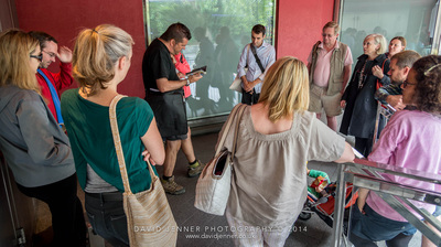
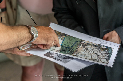
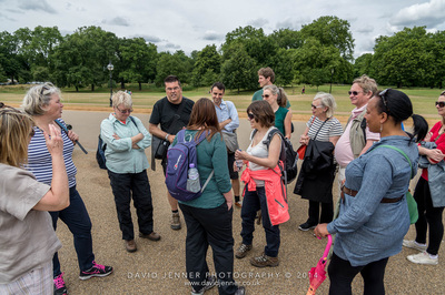
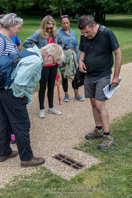
These guided walking tours with Paul Talling sell out of tickets several months ahead. Click the WeGotTickets logo for upcoming tour dates and availability.
Join the mailing list to be informed of future walks and ticket releases.
Join the mailing list to be informed of future walks and ticket releases.
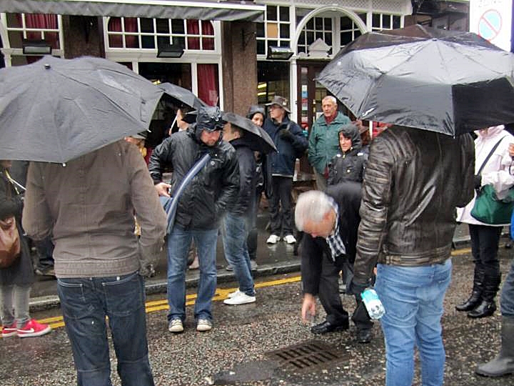
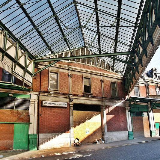
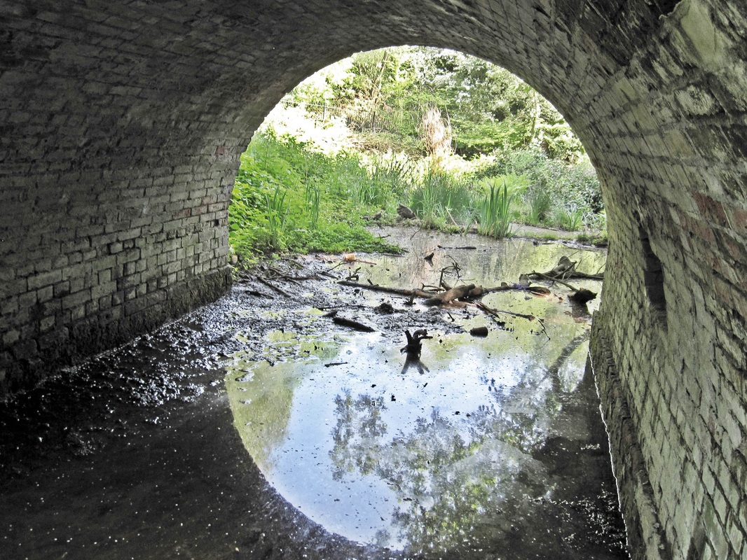
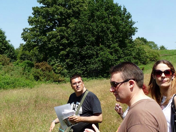
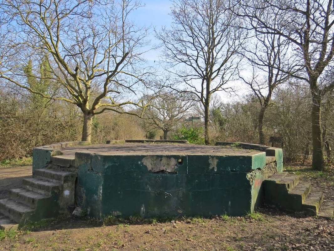
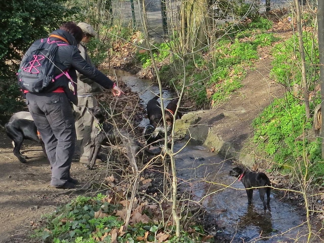
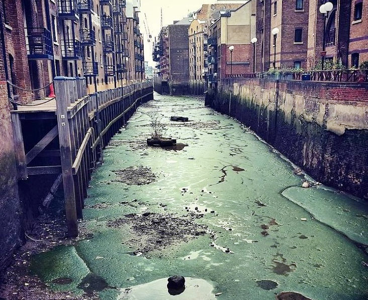
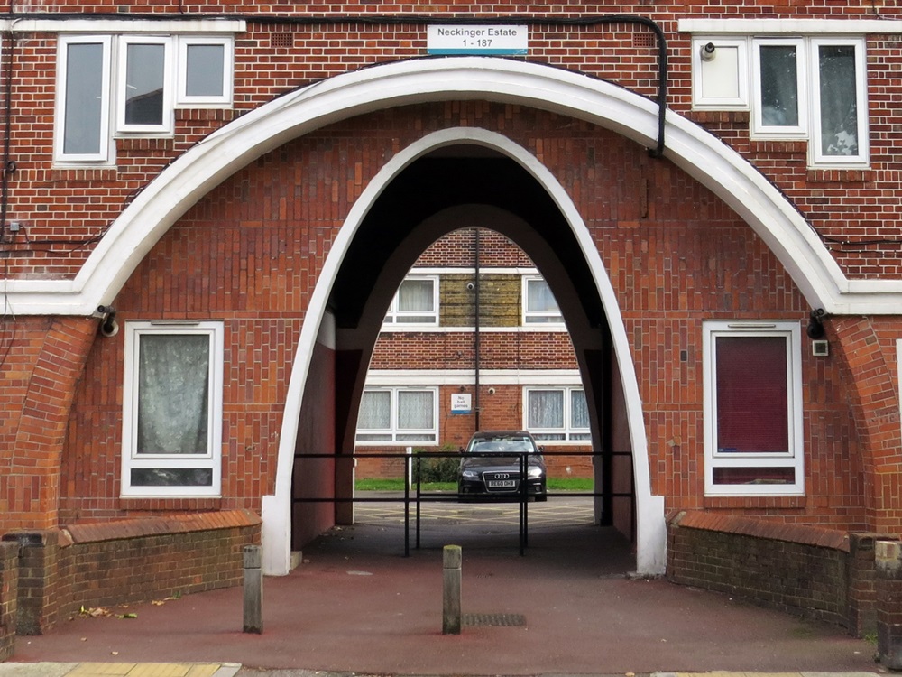
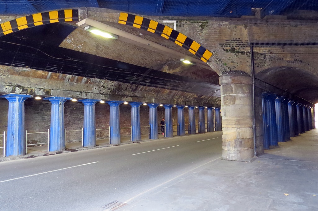
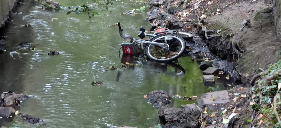
Above 3 pics are courtesy of David Jenner.
"I went along on a walk with Paul Talling, which traced the course of the lost River Fleet. He was most informative and knowledgeable about his subject in a humorous and relaxed way and I very much enjoyed the day" C Jarvis
Paul offers many different lost river tours.Further details of these walks can be found at: http://www.londonslostrivers.com/authors-guided-walks.html
River Westbourne and the Grosvenor Canal Guided Walking Tour with Paul Talling (author of London's Lost Rivers)
|
A guided walking tour of the lower reaches of one of London's major subterranean rivers. The walk starts off where the Westbourne was once known as Bayswater Brook. Bayswater is a shortened version of Bayard's Watering Place, where bayards (horses) drank water from the river. We explore the alleyways and mews that once lined the river and the site of an ancient conduit which once supplied Central London with water. We then head off through Kensington Gardens and Hyde Park where the River formed a series of natural ponds in the park later dammed to form the Serpentine. The River then follows the Kensington & Chelsea border with Westminster through Knightsbridge (named after a ruckus between knights on a bridge over the River) past Sloane Square where the encased river can be seen crossing the tube station and then down to the Thames where the sewer outfall empties into the Thames beside Chelsea Bridge. The walks are timed to coincide with a low tide, so it is possible to go down to the Thames foreshore to see the vast outfall chamber. I will allow time for us to do this, but you do this at your own risk as it's a bit slippery and muddy down there. The next leg of the tour takes us a few yards down the road to have a brief look at the entrance and basin of the former Grosvenor Canal and the old Chelsea Waterworks Company. This short canal was instrumental in supplying goods for the construction of Belgravia and recently the course of the canal has been made into an ornamental water feature for an expensive new residential development.
Many interesting points along the route of this walk include: the site of ancient tea gardens, a pub where the Great Train Robbery was allegedly planned, the fountains where Hugh Grant & Colin Firth had a fight in Bridget Jones Diary, the setting of a Peter Pan book, a pub which was the final drinking place for victims of the Tyburn Gallows, stories of second world war bombings, the site of the original Crystal Palace and Ranelagh Gardens where Mozart once played |
River Fleet (Blackfriars to St Pancras) Guided Walking Tour with Paul Talling (author of London's Lost Rivers)
A guided (above ground) walking tour of the lower part of the lost River Fleet’s course. Starting off at an Art Nouveau Grade II listed pub which is decorated throughout with multi-coloured marble, mosaics, and bronze reliefs of monks. The pub stands on the site of a Dominican Monastery which stood beside the River Fleet. The walk takes in (a partial) view of the outfall chamber into the Thames, the sites of the old prisons, bridges and wells that used to line the banks of the Fleet, the Holborn viaduct which spans the Fleet Valley, Smithfield Market (including a brief look at the disused parts), Hockley In-the-Hole an ancient haunt of thieves and the site of bear-baiting where you can now hear the Fleet flowing beneath a drain cover, finishing up at the St Pancras Old Church where people once bathed in the adjacent Fleet plus a look at a few of the interesting gravestones.
Other fascinating points along the route include the Clerkenwell courthouse where the Clash were kept in the cells, the one-time derelict Lighthouse building in Kings Cross, the site on Farringdon Rd where the Labour Party was founded, the street where Charles Dickens located Fagin’s Den, the churchyard where the Beatles shot album sleeve photos and even the hotel where Tony Hadley from Spandau Ballet worked in his youth!
Other fascinating points along the route include the Clerkenwell courthouse where the Clash were kept in the cells, the one-time derelict Lighthouse building in Kings Cross, the site on Farringdon Rd where the Labour Party was founded, the street where Charles Dickens located Fagin’s Den, the churchyard where the Beatles shot album sleeve photos and even the hotel where Tony Hadley from Spandau Ballet worked in his youth!
Hampstead's Lost Rivers (The Fleet, Tyburn and Westbourne) Guided Walking Tour with Paul Talling (author of London's Lost Rivers)
On this tour Paul takes you on a relaxing walking tour around Hampstead showing you the sources of three of London's best known lost rivers - the Fleet, the Tyburn & the Westbourne and reading from his book London's Lost Rivers. We visit the sites of wells, a lost pond famously painted by John Constable as well as the existing Hampstead Ponds & streams that form the sources of these rivers that began their descent in Hampstead towards the River Thames and shaping London's history.
Other miscellaneous sites along the way include the former London home of the black singer, actor and pioneering civil rights activist, Paul Robeson, an abandoned pig pen and a former pub that was once frequented by Charles Dickens, Karl Marx & Bram Stoker.
Whilst we will not be heading down into any sewers or enduring mountainous conditions you are advised to wear sensible footwear as the off-road terrain on the Heath is coarse, hilly and can be slippery when wet.
River Peck/Earl's Sluice (Honor Oak to Surrey Quays) Guided Walking Tour with Paul Talling (author of London's Lost Rivers)
It's a long but leisurely one from Honor Oak to the Surrey Docks in Rotherhithe via Peckham & South Bermondsey. Along the route of this lost river we pass many other interesting sites over vastly contrasting landscapes. We also pass the routes of two of South London's other lost waterways - the Grand Surrey Canal and the Croydon Canal.
The Peck, a tributary of The Earl's Sluice, rose on One Tree Hill, Honor Oak and drained into the Sluice near South Bermondsey railway station. The Sluice then drained eastwards into the Thames on the Rotherhithe/Deptford border.
In May 1602, Elizabeth I picnicked by an oak tree at the summit of Honor Oak Hill. The tree came to be known as the Oak of Honor. The present tree surrounded by railings was planted in 1905 and a successor to the historic one. This tree is near the highest source of the Peck.
The name Peckham is of Saxon descent meaning 'the village of the River Peck', Peckham was the last stopping point for drovers from Kent taking their livestock to sell in London’s Smithfield Market. The only remaining above-ground section of the River Peck (or at least tributary rivulets/ditches of the said river) is in Peckham Rye. It was here in 1767 that poet William Blake had his vision of “a tree filled with angels, bright angelic wings bespangling every bough like stars." During the Second World War, temporary huts were erected here to detain Italian prisoners of war.
River Neckinger Guided Walking Tour with Paul Talling (author of London's Lost Rivers)
A guided walking tour around South East London starting at the one-time site of a labyrinth of millstreams, ponds and islands on the edge of Rotherhithe including a look at the remains of Edward 111’s manor house built in the 1350s
We then follow the route of the lost River Neckinger from where tidal ditches were dug courtesy of the monks at Bermondsey Abbey and a dense commercial area of factories, warehouses and mills had grown up. The area alongside the still visible mouth of the Neckinger was known as Jacob's Island, the final refuge of Bill Sikes in Oliver Twist was a 'rookery' where the poorest people lived side by side with polluting waste in slum conditions. By Victorian times, the lower Neckinger was nicknamed "The Venice of Drains" and "The Capital of Cholera".
The Neckinger flowed through a marshy area associated with tanneries and later to a myriad of factories producing the best known twentieth century brands of biscuits, jams and vinegar and latterly home to trendy restaurants and luxury flats. Along the route we pass a fading air raid shelter sign, derelict pubs, viewing the evidence of a couple of forgotten burial grounds plus an update to many of the subjects covered in the Derelict London book with 'then & now" comparisons of Driscoll House, Chambers Wharf, London Park Hotel and the Lambeth Workhouse which were all empty at the time the book was released.
River Tyburn (Swiss Cottage to Pimlico) Guided Walking Tour with Paul Talling (author of London's Lost Rivers)
Lost rivers with a musical slant. An all-day guided (above ground) walking tour of the River Tyburn's course from South Hampstead (Swiss Cottage) to the River Thames in Pimlico.
This will be a relaxing all-day event walking roughly 7 miles covering so many clues of this now subterranean river and how it defined the area as we head through St Johns Wood, Marylebone and Mayfair with Paul reading from his London's Lost Rivers book and various Victorian publications and referring to archive material, ancient maps and a modern-day one showing the river now used as the King's Scholar Pond sewer which runs partly underneath Buckingham Palace.
The Ty- in Tyburn derives from a word for "boundary," and the stream has actually defined many boundaries over time, including the ancient boundary of Westminster in Pimlico. The Tyburn gave its name to the village of Tyburn, originally a manor of Marylebone, which was recorded in the Domesday Book and which stood approximately at the west end of what is now Oxford Street. It also gave its name to the predecessors of Oxford Street and Park Lane, which were formerly called Tyburn Road and Tyburn Lane, respectively. The earliest written mention of the Tyburn dates back to around 785 AD.
From the place where the Tyburn crossed Oxford Street, the Great Conduit was built in 1236, to supply water through conduits from the Tyburn to Cheapside in the City. Only a small stream was left to carry on southwards, and this perhaps explains the lack of marking on maps of the river after this time. Just off Bond Street, Lancashire Court was developed on what used to be the east bank of the Tyburn. It is said that here ducks once wandered about among the long grass and puddles, women did their washing at the water's edge and a hospital for plague victims was erected here near the open fields.
There will be plenty of tangents along the way, such as talking about the Baker Street bank robbery of 1971, Danger Mouse, Wendy Richard, the Mayfair birthplace of Queen Elizabeth II, Twiggy, Radio Luxembourg, Banksy, Phileas Fogg, a former Prime Minister's house later described as the most haunted house in London, locations from Denis Waterman era Minder, an abandoned tube station, Harry Nilsson's flat where both (Mama) Cass Elliott and Keith Moon died. Many more musical references en route including Marie Lloyd, Handel, Elgar, Hendrix, The Beatles, Joni Mitchell, David Bowie, Queen, Kim Wilde, Sex Pistols and Dolores from The Cranberries. There will be plenty of opportunities for toilet breaks in Regents Park, Paddington Street Gardens and Green Park. The walk will also involve a pub stop. You are welcome to bring refreshments to eat along the way. You can get home from Vauxhall or Pimlico stations, which are a 10-minute walk or stay for a drink or five in The Grosvenor, which is a cosy down to earth pub.
River Moselle all-day walking tour with Paul Talling (Author of London's Lost Rivers)
Not the better known Moselle in France,this all-day tour follows the course of North London's River Moselle from it's mouth in Tottenham via Wood Green to the source in Highgate, taking in the history and delights of the area along the way. 75% of the Moselle remains culverted, so more water to see than on my other "lost" river walks.
This is a leisurely relaxing walk of just under 10 miles, starting out from a café (get there earlier for breakfast), stopping en route for a break at another café and a drink in a pub.
Highlights along the way include the remains of an old sewage works, dead pubs, the marshes where Tottenham Hotspur FC had their first home ground, stories of farmlands and the highs and lows of modern housing estates such as Broadwater Farm, and visible open sections of the Moselle in Tottenham (White Hart Lane) Cemetery and Lordship Lane Recreation Ground, although it is hardly the “sparkling Moselle” of days gone by.
Up the Junction: Battersea's Lost Rivers with Paul Talling (Author of London's Lost Rivers)
This walk traces the course of two rivers: the Falcon Brook and the Heathwall which made Battersea an island created by these water channels in ancient times. Part of the buried Heathwall still marks the border between the Boroughs of Lambeth and Wandsworth.
To illustrate the changing face of social change in the area, we look at some locations from the 1968 film Up The Junction (Dennis Waterman, Suzy Kendall & Maureen Lipman) and the booklet from the 1973 Quadrophenia album by The Who including the former studio owned by the nand and used for recording the album and by other artists including Thin Lizzy, Neil Young, Joan Jett & Johnny Thunders. Other musical references include Battersea Town Hall that hosted gigs by The Jam & Fleetwood Mac, the café where the iconic Take On Me video by a-ha was filmed, the estate where So Solid Crew grew up and of course Battersea Power Station, the cover star of Pink Floyd's Animals album.
Other locations from films including Sitting Target (Oliver Reed & Ian McShane), Poor Cow (Terence Stamp & John Bindon), Cathy Come Home (Carol White & Ray Brooks), Brannigan (John Wayne & Richard Attenborough), All Coppers Are??? (Nicky Henson), Cosh Boy (Joan Collins) and The Optimists of Nine Elms (Peter Sellers) and a 1975 episode of The Sweeney (Denis Waterman & John Thaw).
This walk starts at The Asparagus in Battersea (a 10-min walk from Clapham Jct) and ends at Nine Elms Station (Northern Line) lasting around 4 1/2 hours. There will be a stop en route for drinks. The Asparagus, a former Wetherspoons, is a great place for a decent value prewalk breakfast. I have some good pubs lined up for post walk drinks.
Paul Talling's Derelict London - all photographs are copyright © 2003-2024
Click the envelope icon to join the mailing list for occasional news on website updates, new book releases and Paul's guided walking tours. Follow Derelict London on Facebook and Twitter
Please do not contact me with property/ filming/photo shoot location queries
Click the envelope icon to join the mailing list for occasional news on website updates, new book releases and Paul's guided walking tours. Follow Derelict London on Facebook and Twitter
Please do not contact me with property/ filming/photo shoot location queries


